

|
|
|
|
|
The Ditch seen from the south bank (the Other Side!), looking west towards Tilbury Grain Terminal. It was always an exciting occasion when you got over the Other Side of the Ditch (usually by raft or bridge). |
The same shot looking West. Behind that fence were the back gardens of Lawns Crescent. |
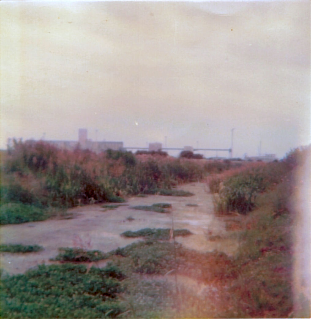
The Ditch as I remember it most - seen from water level on the bank. Looking rather overgrown at this time. |
Another shot of the north bank from the south bank |
|
|
|
|
|
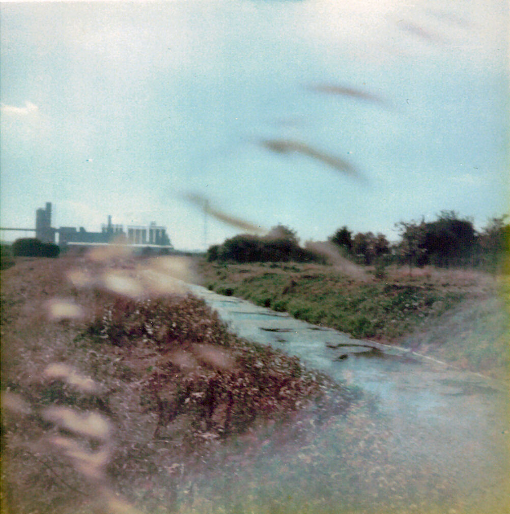
Dark and foreboding under a cloudy autumn sky. The Ditch seen from the vicinity of the tunnels that carried it under the Dock Road. |
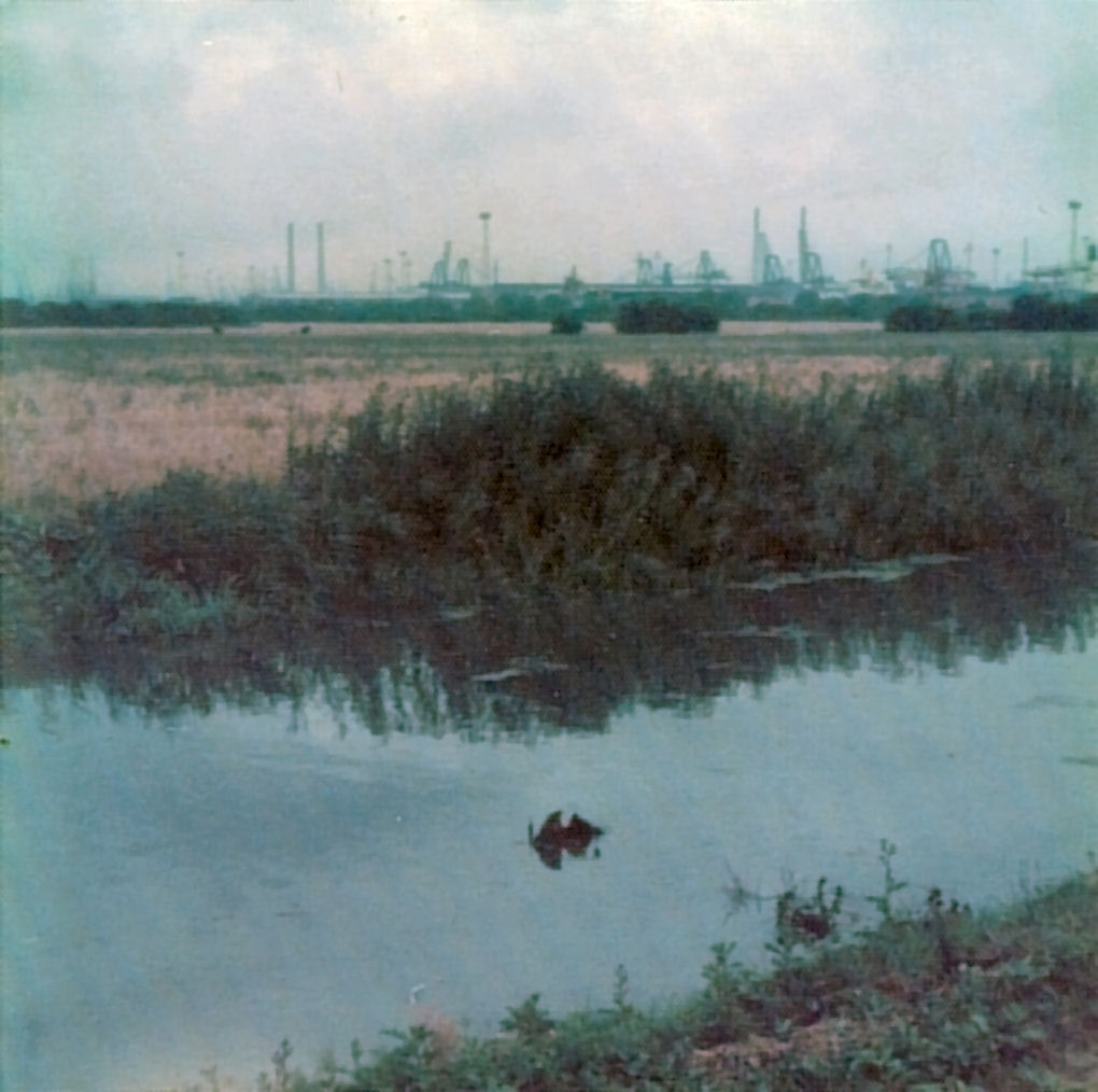
An uninterrupted view of Tilbury Docks across the Ditch. This looks like late summer, probably around harvest time. |
Winter the Ditch would sometimes freeze. This is my mate Tommy Riley standing on fairly solid ice on one of the side channels. |
The Ditch seen from the Other Side again. If you look in the middle of the shot you'll see how I got across to the Other Side - a Bridge! Note Rag & Bone Man's grazing horse. |
|
|
|
|
|
Another day, another bridge. One of several attempts to cross the Ditch, this one probably lasted about 2 days. This is not the same as the one in the previous photo - that one had metal poles as supports. |
And here's my mate Craig Duligal on that bridge, from the look of things taken from the opposite side. I think this was down by Thameside. The Ditch was narrower there. |
A wooden pallet, some rope, and about six petrol cans (all sourced from The Pit), and you've got yourself a Raft. Complete with Sunflower Stem punt. That's Mark on the bank and Rob on the raft. |
The Ditch after some heavy rainfall. Notice how high the water table is. This land now has a housing estate on it! |
|
|
|
|
When The Ditch got too overgrown, the PLA dredged it, dumping the wet clay along the banks. If you went out straight afterwards you would find big fat toads and the occasional eel stranded in the mud. |
A couple of shots from the Railway line. Behind me is Tilbury Docks, while in front is Grays and Little Thurrock. On the far left is Thameside Junior School and playing field. In the 1940s you would have been looking at a freight railway line running directly away from you, across the Broadway and into the Pit adjoining Whitehall Lane. |
Looking further East towards Tilbury Town. To the right is the main line, and I'm standing on a wide brick support for a long-vanished bridge that took the old freight line over the main line and into the Docks. |
|
|
|
Map of Little Thurrock from 1946.Note the railway line going from the Whitehall Lane pit across the Broadway and over the main line into Tilbury Docks. |
Compare this with the same area today.I estimate that the line crossed the road just to the west of The Ship Inn, probably where the petrol station now is. |
|
|
|
|
This is a shot towards the Dock Road, taken from a our treehouse. Sorry about the thumb blur. |
Another from the treehouse, across the fields to Tilbury (sorry, thumb again). |
Looking down, here's the Gate. The Ditch is to the right of shot, and those white houses are The Willows. This is now Churchill Road, leading to a housing estate on the other side of the Ditch. |
|
|
|
|
Speaking of Willows, here's the Willow tree we used to play in/on/under, behind the PLA fence. |
And finally a rather special shot of the horse paddock behind the Bull pub. It's another stereo picture, if you can go cross-eyed enough. |